
File:Bergtocht van Tschiertschen (1350 meter) via Ruchtobel richting Ochsenalp 016.jpg
Size of this preview: 749 × 599 pixels. Other resolutions: 300 × 240 pixels | 600 × 480 pixels | 960 × 768 pixels | 1,280 × 1,024 pixels | 2,560 × 2,048 pixels | 4,202 × 3,362 pixels.
Original file (4,202 × 3,362 pixels, file size: 15.38 MB, MIME type: image/jpeg)
Captions
Captions
Add a one-line explanation of what this file represents
Summary
[edit]| Description |
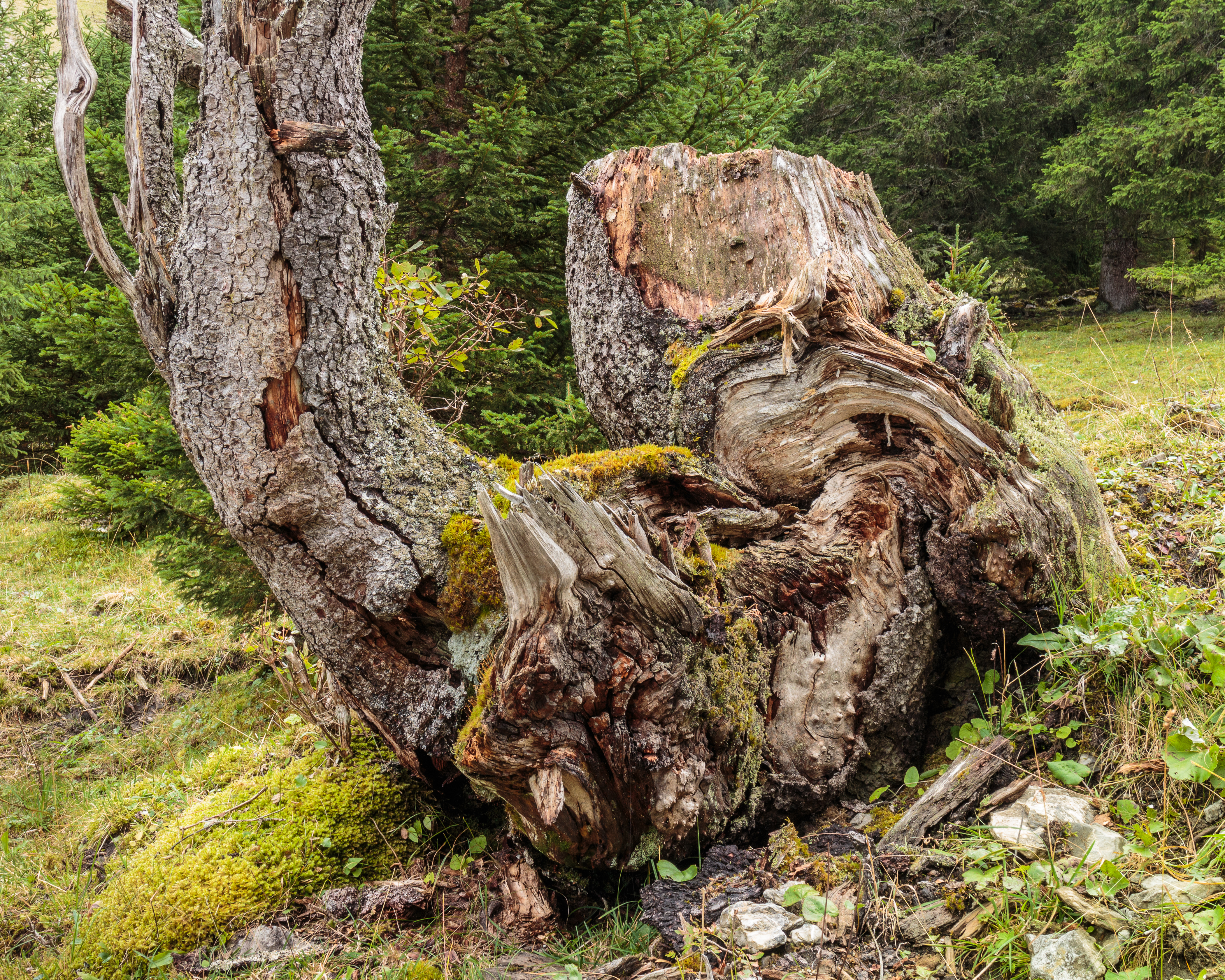
Nederlands: Bergtocht van Tschiertschen (1350 meter) via Ruchtobel richting Ochsenalp. Boomstobbe.
English: Mountain trip from Tschiertschen (1350 meters) via Ruchtobel towards Ochsenalp. Tree stump. |
| Date | |
| Source | Own work |
| Author | Agnes Monkelbaan |
| Other versions |
|
_via_Ruchtobel_richting_Ochsenalp_013.jpg)
|

_via_Ruchtobel_richting_Ochsenalp_016.jpg&action=edit§ion=1)
_via_Ruchtobel_richting_Ochsenalp_016.jpg)
_via_Ruchtobel_richting_Ochsenalp_016.jpg)
| Camera location | | View this and other nearby images on: OpenStreetMap |
|---|
_via_Ruchtobel_richting_Ochsenalp_016.jpg¶ms=046.811500_N_0009.630644_E_globe:Earth_type:camera__&language=en)
Tschiertschen (1350 meter) in Graubünden. Het grootste kanton van Zwitserland.
Licensing
[edit]_via_Ruchtobel_richting_Ochsenalp_016.jpg&action=edit§ion=2)
I, the copyright holder of this work, hereby publish it under the following license:
This file is licensed under the Creative Commons Attribution-Share Alike 4.0 International license.
- You are free:
- to share – to copy, distribute and transmit the work
- to remix – to adapt the work
- Under the following conditions:
- attribution – You must give appropriate credit, provide a link to the license, and indicate if changes were made. You may do so in any reasonable manner, but not in any way that suggests the licensor endorses you or your use.
- share alike – If you remix, transform, or build upon the material, you must distribute your contributions under the same or compatible license as the original.
This image has been assessed using the Quality image guidelines and is considered a Quality image.
|

|
This image has been assessed under the valued image criteria and is considered the most valued image on Commons within the scope: Dead trees in Switzerland Dead tree stump.. You can see its nomination here. |
File history
Click on a date/time to view the file as it appeared at that time.
| Date/Time | Thumbnail | Dimensions | User | Comment | |
|---|---|---|---|---|---|
| current | 19:09, 3 February 2019 | | 4,202 × 3,362 (15.38 MB) | Agnes Monkelbaan (talk | contribs) | Andere uitsnede. |
| 16:27, 24 November 2018 |  | 5,184 × 3,456 (20.6 MB) | Agnes Monkelbaan (talk | contribs) | Meer contrast. | |
| 06:49, 23 December 2017 |  | 5,184 × 3,456 (19.82 MB) | Agnes Monkelbaan (talk | contribs) | User created page with UploadWizard |
You cannot overwrite this file.
File usage on Commons
The following 20 pages use this file:
- User:Agnes Monkelbaan/Bergtochten in Graubünden (Switzerland) in 2017
- User:Christian Ferrer/links
- User:KurodaSho/memo
- User talk:Agnes Monkelbaan
- User talk:Agnes Monkelbaan/Archive 7
- Commons:Featured picture candidates/File:Bergtocht van Tschiertschen (1350 meter) via Ruchtobel richting Ochsenalp 016.jpg
- Commons:Featured picture candidates/Log/June 2019
- Commons:Featured pictures/Places/Natural/Switzerland
- Commons:Featured pictures/chronological/2019-A
- Commons:Picture of the Year/2019/Candidates
- Commons:Picture of the Year/2019/R1/Gallery/2019-A
- Commons:Picture of the Year/2019/R1/Gallery/ALL
- Commons:Picture of the Year/2019/R1/Gallery/M06
- Commons:Picture of the Year/2019/R1/Gallery/Nature views
- Commons:Picture of the Year/2019/R1/v/Bergtocht van Tschiertschen (1350 meter) via Ruchtobel richting Ochsenalp 016.jpg
- Commons:Quality images/Subject/Plant life/Trees/Archive 2018
- Commons:Quality images candidates/Archives January 01 2018
- Commons:Valued image candidates/Bergtocht van Tschiertschen (1350 meter) via Ruchtobel richting Ochsenalp 016.jpg
- File:Bergtocht van Tschiertschen (1350 meter) via Ruchtobel richting Ochsenalp 013.jpg
- Template:Featured picture candidates overview
_via_Ruchtobel_richting_Ochsenalp_016.jpg)
File usage on other wikis
The following other wikis use this file:
- Usage on he.wikipedia.org
_via_Ruchtobel_richting_Ochsenalp_016.jpg&oldid=985881441)