
File:Arizona, Highway 64 East Rim Drive.jpg

Size of this preview: 800 × 533 pixels. Other resolutions: 320 × 213 pixels | 640 × 427 pixels | 1,024 × 683 pixels | 1,280 × 853 pixels | 2,560 × 1,707 pixels | 4,365 × 2,910 pixels.
Original file (4,365 × 2,910 pixels, file size: 5.22 MB, MIME type: image/jpeg)
Captions
Captions
Add a one-line explanation of what this file represents
Summary
[edit]
| Description |
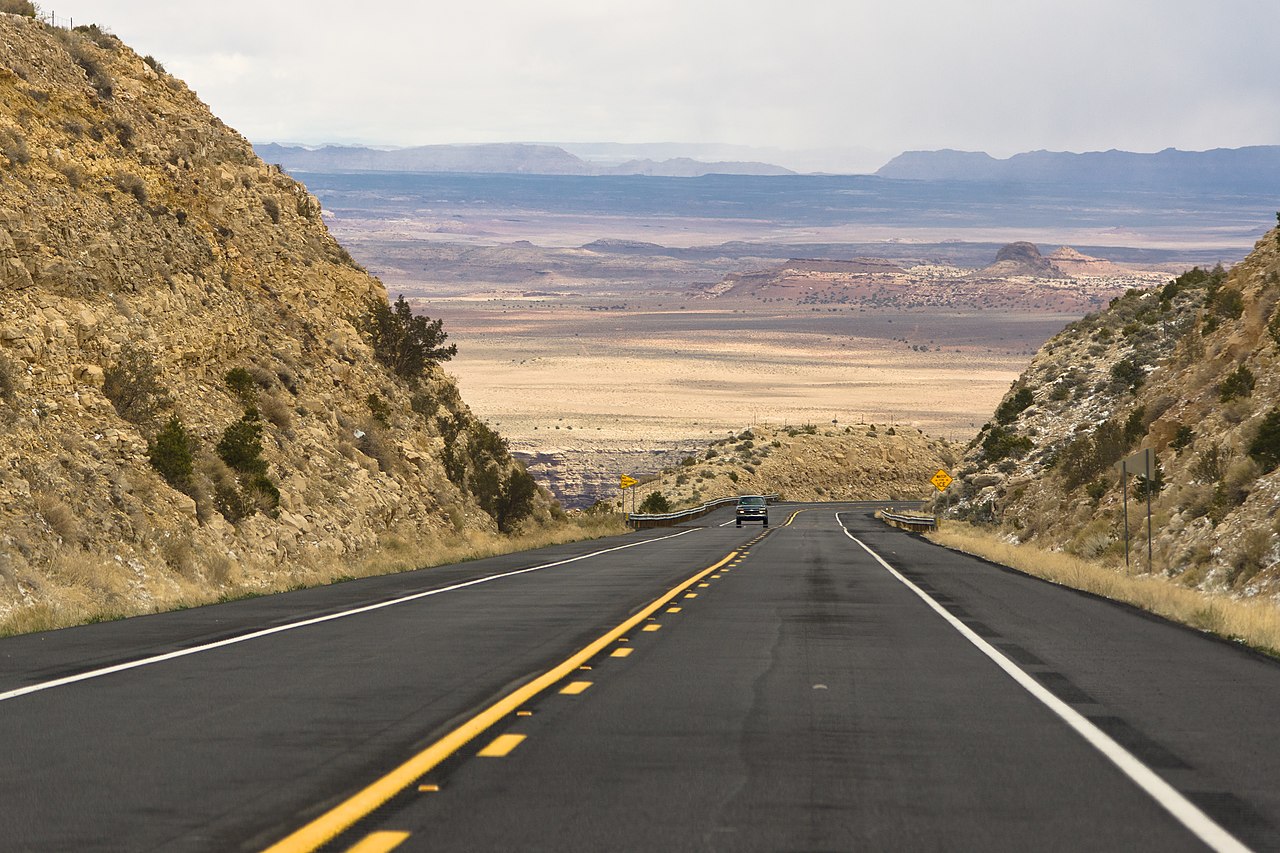
English: Arizona State Route 64 in Coconino County, Arizona, 20 miles (32 km) south of Cameron CDP. Polski: Droga stanowa 64, Hrabstwo Coconino, Arizona, 20 mil (32 km) na zachód Cameron. |
|||||||
| Date | ||||||||
| Source | Own work | |||||||
| Author |
|
| Camera location | | View this and other nearby images on: OpenStreetMap |
|---|
Licensing
[edit]
I, the copyright holder of this work, hereby publish it under the following licenses:

|
Permission is granted to copy, distribute and/or modify this document under the terms of the GNU Free Documentation License, Version 1.2 or any later version published by the Free Software Foundation; with no Invariant Sections, no Front-Cover Texts, and no Back-Cover Texts. A copy of the license is included in the section entitled GNU Free Documentation License. |
This file is licensed under the Creative Commons Attribution-Share Alike 3.0 Poland license.
- You are free:
- to share – to copy, distribute and transmit the work
- to remix – to adapt the work
- Under the following conditions:
- attribution – You must give appropriate credit, provide a link to the license, and indicate if changes were made. You may do so in any reasonable manner, but not in any way that suggests the licensor endorses you or your use.
- share alike – If you remix, transform, or build upon the material, you must distribute your contributions under the same or compatible license as the original.

You may select the license of your choice.
This photo of the United States of America was taken during Wikiexpedition 2012 USA backed up by Wikimedia Polska Association. You can see all photographs in category Wikiekspedycja 2012 USA. |
This file was uploaded with Commonist.
This image has been assessed using the Quality image guidelines and is considered a Quality image.
|
File history
Click on a date/time to view the file as it appeared at that time.
| Date/Time | Thumbnail | Dimensions | User | Comment | |
|---|---|---|---|---|---|
| current | 20:23, 7 May 2012 | | 4,365 × 2,910 (5.22 MB) | CLI (talk | contribs) |
You cannot overwrite this file.
File usage on Commons
The following 6 pages use this file: