File:Tour de la Bourse August 2017 01.jpg

Original file (2,369 × 2,764 pixels, file size: 3.14 MB, MIME type: image/jpeg)
Captions
Captions
Summary
[edit]DescriptionTour de la Bourse August 2017 01.jpg |
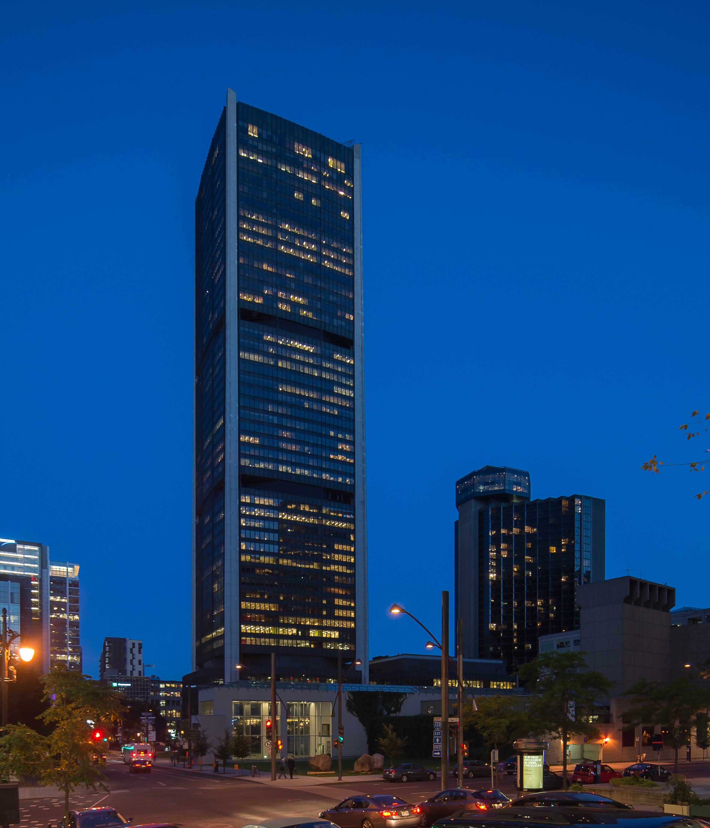
English: Tour de la Bourse, Montreal. |
Date | |
Source | Own work |
Author | Arild Vågen |
Camera location | 45° 30′ 06.82″ N, 73° 33′ 49.67″ W ![]() | View this and other nearby images on: OpenStreetMap | ![]() |
---|
![]() |
This file was made possible through the pool of technology at Wikimedia Sverige. العربية ∙ جازايرية ∙ বাংলা ∙ Deutsch ∙ English ∙ Esperanto ∙ español ∙ français ∙ македонски ∙ norsk bokmål ∙ Nederlands ∙ norsk nynorsk ∙ русский ∙ svenska ∙ українська ∙ +/−
|
![]() |
Licensing
[edit]


- You are free:
- to share – to copy, distribute and transmit the work
- to remix – to adapt the work
- Under the following conditions:
- attribution – You must give appropriate credit, provide a link to the license, and indicate if changes were made. You may do so in any reasonable manner, but not in any way that suggests the licensor endorses you or your use.
- share alike – If you remix, transform, or build upon the material, you must distribute your contributions under the same or compatible license as the original.
![]() |
This image has been assessed using the Quality image guidelines and is considered a Quality image.
العربية ∙ جازايرية ∙ беларуская ∙ беларуская (тарашкевіца) ∙ български ∙ বাংলা ∙ català ∙ čeština ∙ Cymraeg ∙ Deutsch ∙ Schweizer Hochdeutsch ∙ Zazaki ∙ Ελληνικά ∙ English ∙ Esperanto ∙ español ∙ eesti ∙ euskara ∙ فارسی ∙ suomi ∙ français ∙ galego ∙ עברית ∙ हिन्दी ∙ hrvatski ∙ magyar ∙ հայերեն ∙ Bahasa Indonesia ∙ italiano ∙ 日本語 ∙ Jawa ∙ ქართული ∙ кыргызча ∙ 한국어 ∙ kurdî ∙ Latina ∙ Lëtzebuergesch ∙ lietuvių ∙ македонски ∙ മലയാളം ∙ मराठी ∙ Bahasa Melayu ∙ Nederlands ∙ Norfuk / Pitkern ∙ polski ∙ português ∙ português do Brasil ∙ qaraqalpaqsha ∙ rumantsch ∙ română ∙ русский ∙ sicilianu ∙ slovenčina ∙ slovenščina ∙ shqip ∙ српски / srpski ∙ svenska ∙ தமிழ் ∙ తెలుగు ∙ ไทย ∙ Tagalog ∙ toki pona ∙ Türkçe ∙ українська ∙ Oʻzbekcha ∙ vèneto ∙ Tiếng Việt ∙ 中文 ∙ 中文(简体) ∙ 中文(繁體) ∙ +/− |
File history
Click on a date/time to view the file as it appeared at that time.
Date/Time | Thumbnail | Dimensions | User | Comment | |
---|---|---|---|---|---|
current | 13:45, 10 August 2017 | ![]() | 2,369 × 2,764 (3.14 MB) | ArildV (talk | contribs) | User created page with UploadWizard |
You cannot overwrite this file.
File usage on Commons
The following 4 pages use this file:
Metadata
This file contains additional information such as Exif metadata which may have been added by the digital camera, scanner, or software program used to create or digitize it. If the file has been modified from its original state, some details such as the timestamp may not fully reflect those of the original file. The timestamp is only as accurate as the clock in the camera, and it may be completely wrong.
Camera manufacturer | NIKON CORPORATION |
---|---|
Camera model | NIKON D600 |
Exposure time | 1/8 sec (0.125) |
F-number | f/4 |
ISO speed rating | 200 |
Date and time of data generation | 20:35, 9 August 2017 |
Latitude | 45° 30′ 6.82″ N |
Longitude | 73° 33′ 49.67″ W |
Altitude | 66 meters above sea level |
Horizontal resolution | 240 dpi |
Vertical resolution | 240 dpi |
Software used | Adobe Photoshop Lightroom 6.7 (Macintosh) |
File change date and time | 15:35, 10 August 2017 |
Exposure Program | Manual |
Exif version | 2.3 |
Date and time of digitizing | 20:35, 9 August 2017 |
APEX shutter speed | 3 |
APEX aperture | 4 |
APEX exposure bias | 0 |
Maximum land aperture | 0 APEX (f/1) |
Metering mode | Center weighted average |
Light source | Unknown |
Flash | Flash did not fire, compulsory flash suppression |
DateTimeOriginal subseconds | 50 |
DateTimeDigitized subseconds | 50 |
Color space | sRGB |
Focal plane X resolution | 1,675.0149841309 |
Focal plane Y resolution | 1,675.0149841309 |
Focal plane resolution unit | 3 |
Sensing method | One-chip color area sensor |
File source | Digital still camera |
Scene type | A directly photographed image |
Custom image processing | Normal process |
Exposure mode | Manual exposure |
White balance | Auto white balance |
Digital zoom ratio | 1 |
Scene capture type | Standard |
Scene control | None |
Contrast | Normal |
Saturation | Normal |
Sharpness | Normal |
Subject distance range | Unknown |
GPS time (atomic clock) | 00:35 |
Satellites used for measurement | 04 |
Geodetic survey data used | WGS 84 |
GPS date | 10 August 2017 |
GPS tag version | 0.0.3.2 |
Serial number of camera | 6029683 |
Lens used | 0.0 mm f/0.0 |
Date metadata was last modified | 17:35, 10 August 2017 |
Unique ID of original document | E5CF723034C1D84D6ED3DDFF1AF54067 |
IIM version | 4 |
Structured data
Items portrayed in this file
depicts
9 August 2017
45°30'6.822"N, 73°33'49.669"W
3,291,836 byte
2,764 pixel
2,369 pixel
image/jpeg
091fa39eeb689ac4de11d3b7d27b6a8c1bd310fb
0.125 second
200
- Files with coordinates missing SDC location of creation
- Media created by technology pool of Wikimedia Sverige
- CC-BY-SA-4.0
- Self-published work
- Quality images
- Quality images missing SDC depicts
- Images by Arild Vågen - Canada
- Quality images of Montreal
- Quality images by Arild Vågen
- Quality images by Arild Vågen – 2017
- Quality images created by technology pool of Wikimedia Sverige