File:Roßleithen Weg 461 Bärnriedlau.jpg

Original file (6,000 × 4,000 pixels, file size: 6.82 MB, MIME type: image/jpeg)
Captions
Captions
Summary
[edit]DescriptionRoßleithen Weg 461 Bärnriedlau.jpg |
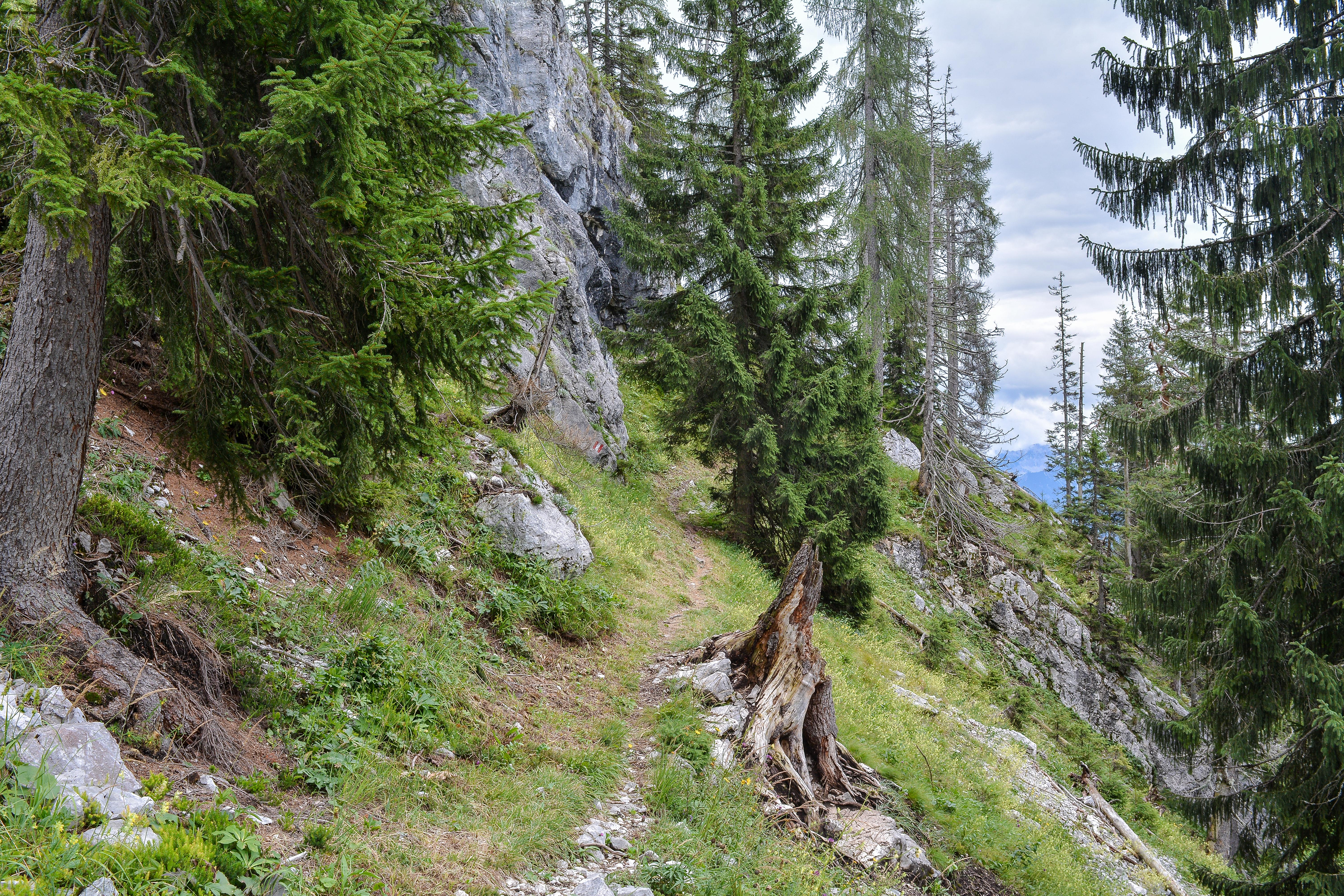
English: The hiking trail 461 leads from St. Pankraz (531 m, Upper Austria) to the top of the mountain Hoher Nock (1963 m). Deutsch: Der Wanderweg 461 im Sengsengebirge führt von St. Pankraz (531 m, Oberösterreich) zum Gipfel des Hohen Nock (1963 m). Unterwegs geht man am Rohrauergut, dem Saubachgut und an der Jagdhütte Bärenriedlau vorbei. |
Date | |
Source | Own work |
Author | Isiwal |
Camera location | 47° 46′ 27.52″ N, 14° 16′ 38.39″ E ![]() | View this and other nearby images on: OpenStreetMap | ![]() |
---|
Licensing
[edit]


- You are free:
- to share – to copy, distribute and transmit the work
- to remix – to adapt the work
- Under the following conditions:
- attribution – You must give appropriate credit, provide a link to the license, and indicate if changes were made. You may do so in any reasonable manner, but not in any way that suggests the licensor endorses you or your use.
- share alike – If you remix, transform, or build upon the material, you must distribute your contributions under the same or compatible license as the original.
![]() |
This image has been assessed using the Quality image guidelines and is considered a Quality image.
العربية ∙ جازايرية ∙ беларуская ∙ беларуская (тарашкевіца) ∙ български ∙ বাংলা ∙ català ∙ čeština ∙ Cymraeg ∙ Deutsch ∙ Schweizer Hochdeutsch ∙ Zazaki ∙ Ελληνικά ∙ English ∙ Esperanto ∙ español ∙ eesti ∙ euskara ∙ فارسی ∙ suomi ∙ français ∙ galego ∙ עברית ∙ हिन्दी ∙ hrvatski ∙ magyar ∙ հայերեն ∙ Bahasa Indonesia ∙ italiano ∙ 日本語 ∙ Jawa ∙ ქართული ∙ кыргызча ∙ 한국어 ∙ kurdî ∙ Latina ∙ Lëtzebuergesch ∙ lietuvių ∙ македонски ∙ മലയാളം ∙ मराठी ∙ Bahasa Melayu ∙ Nederlands ∙ Norfuk / Pitkern ∙ polski ∙ português ∙ português do Brasil ∙ qaraqalpaqsha ∙ rumantsch ∙ română ∙ русский ∙ sicilianu ∙ slovenčina ∙ slovenščina ∙ shqip ∙ српски / srpski ∙ svenska ∙ தமிழ் ∙ తెలుగు ∙ ไทย ∙ Tagalog ∙ toki pona ∙ Türkçe ∙ українська ∙ Oʻzbekcha ∙ vèneto ∙ Tiếng Việt ∙ 中文 ∙ 中文(简体) ∙ 中文(繁體) ∙ +/− |
File history
Click on a date/time to view the file as it appeared at that time.
Date/Time | Thumbnail | Dimensions | User | Comment | |
---|---|---|---|---|---|
current | 21:26, 16 August 2014 | ![]() | 6,000 × 4,000 (6.82 MB) | Isiwal (talk | contribs) | VicuñaUploader 1.20 |
You cannot overwrite this file.
File usage on Commons
The following 3 pages use this file:
Metadata
This file contains additional information such as Exif metadata which may have been added by the digital camera, scanner, or software program used to create or digitize it. If the file has been modified from its original state, some details such as the timestamp may not fully reflect those of the original file. The timestamp is only as accurate as the clock in the camera, and it may be completely wrong.
Camera manufacturer | NIKON CORPORATION |
---|---|
Camera model | NIKON D7100 |
Exposure time | 1/80 sec (0.0125) |
F-number | f/9 |
ISO speed rating | 100 |
Date and time of data generation | 12:49, 15 August 2014 |
Lens focal length | 22 mm |
Latitude | 47° 46′ 27.52″ N |
Longitude | 14° 16′ 38.39″ E |
City shown | Rading |
Horizontal resolution | 240 dpi |
Vertical resolution | 240 dpi |
Software used | Adobe Photoshop Lightroom 5.6 (Windows) |
File change date and time | 21:52, 16 August 2014 |
Exposure Program | Aperture priority |
Exif version | 2.3 |
Date and time of digitizing | 12:49, 15 August 2014 |
APEX shutter speed | 6.321928 |
APEX aperture | 6.33985 |
APEX exposure bias | 0 |
Maximum land aperture | 3.8 APEX (f/3.73) |
Metering mode | Pattern |
Light source | Unknown |
Flash | Flash did not fire, compulsory flash suppression |
DateTimeOriginal subseconds | 20 |
DateTimeDigitized subseconds | 20 |
Color space | sRGB |
Sensing method | One-chip color area sensor |
File source | Digital still camera |
Scene type | A directly photographed image |
Custom image processing | Normal process |
Exposure mode | Auto exposure |
White balance | Auto white balance |
Digital zoom ratio | 1 |
Focal length in 35 mm film | 33 mm |
Scene capture type | Standard |
Scene control | None |
Contrast | Normal |
Saturation | Normal |
Sharpness | Hard |
Subject distance range | Unknown |
GPS tag version | 0.0.2.2 |
Serial number of camera | 4369452 |
Lens used | 18.0-55.0 mm f/3.5-5.6 |
Date metadata was last modified | 23:52, 16 August 2014 |
Unique ID of original document | 28D99761668EC520AD44871DD980615A |
Province or state shown | Oberösterreich |
Country shown | Österreich |
IIM version | 4 |
Structured data
Items portrayed in this file
depicts
15 August 2014
47°46'27.52201"N, 14°16'38.38800"E
0.0125 second
22 millimetre
100
image/jpeg
- National parks of Austria with known ID
- Files with coordinates missing SDC location of creation
- CC-BY-SA-3.0
- Quality images
- Quality images missing SDC depicts
- Uploaded with VicuñaUploader
- Quality images by Isiwal
- Quality images of Upper Austria
- Quality images of Nationalpark Kalkalpen
- Images by Isiwal
- Quality images of trails