
File:Paradise Cay, Marin County.jpg
Size of this preview: 800 × 500 pixels. Other resolutions: 320 × 200 pixels | 640 × 400 pixels | 1,024 × 640 pixels | 1,280 × 800 pixels | 2,560 × 1,600 pixels | 5,181 × 3,238 pixels.
Original file (5,181 × 3,238 pixels, file size: 15.83 MB, MIME type: image/jpeg)
Captions
Captions
Add a one-line explanation of what this file represents
Summary
[edit]
| Description |
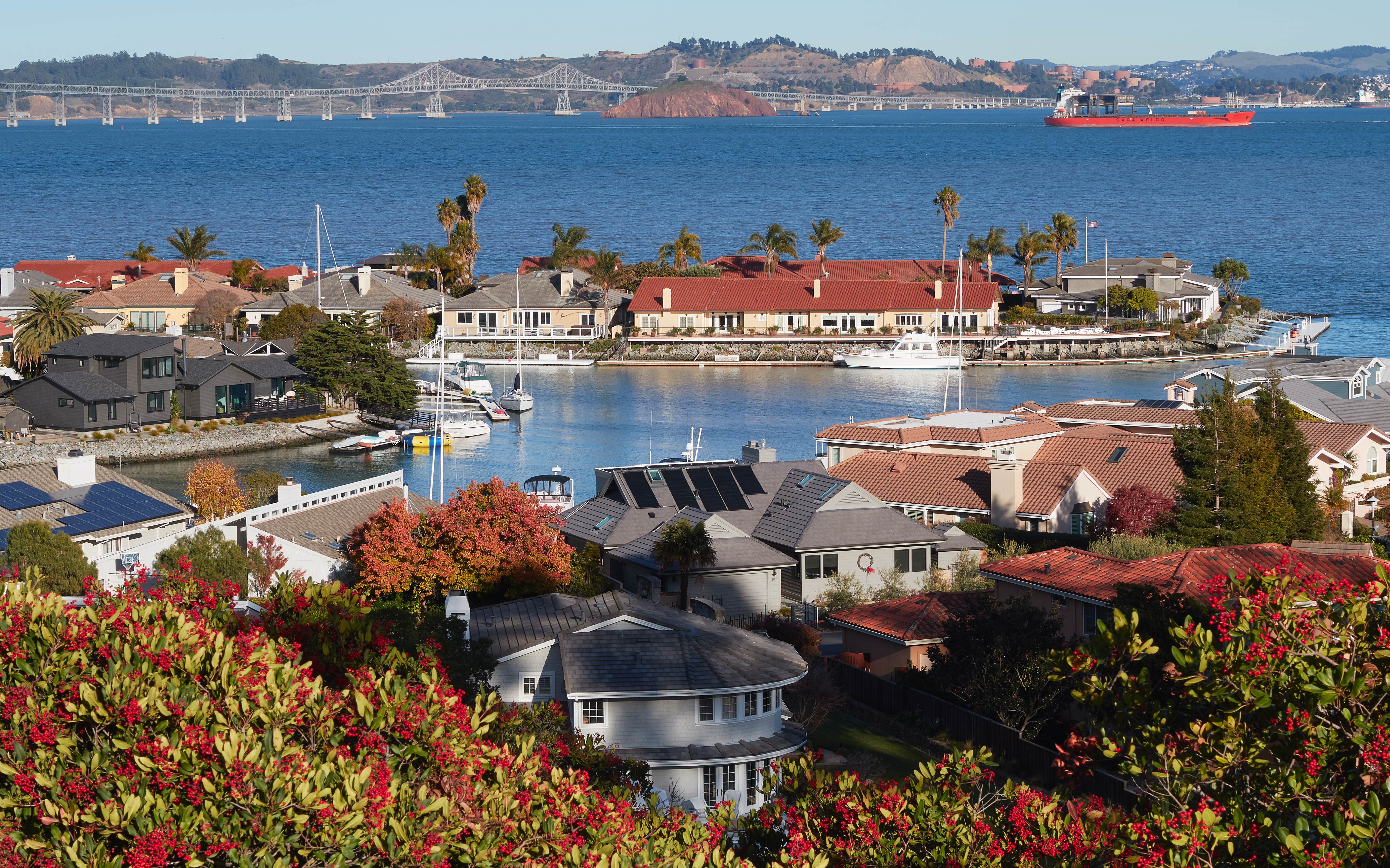
English: View of Paradise Cay near Tiburon, Marin County, California |
| Date | |
| Source | Own work |
| Author | Frank Schulenburg |
| Camera location | | View this and other nearby images on: OpenStreetMap |
|---|
Licensing
[edit]
I, the copyright holder of this work, hereby publish it under the following license:
This file is licensed under the Creative Commons Attribution-Share Alike 4.0 International license.
- You are free:
- to share – to copy, distribute and transmit the work
- to remix – to adapt the work
- Under the following conditions:
- attribution – You must give appropriate credit, provide a link to the license, and indicate if changes were made. You may do so in any reasonable manner, but not in any way that suggests the licensor endorses you or your use.
- share alike – If you remix, transform, or build upon the material, you must distribute your contributions under the same or compatible license as the original.
This image has been assessed using the Quality image guidelines and is considered a Quality image.
|
File history
Click on a date/time to view the file as it appeared at that time.
| Date/Time | Thumbnail | Dimensions | User | Comment | |
|---|---|---|---|---|---|
| current | 02:14, 3 December 2016 | | 5,181 × 3,238 (15.83 MB) | Frank Schulenburg (talk | contribs) | lens profile corrected |
| 01:51, 3 December 2016 |  | 5,181 × 3,238 (15.97 MB) | Frank Schulenburg (talk | contribs) | brightness toned down a bit | |
| 01:43, 3 December 2016 |  | 5,181 × 3,238 (16.1 MB) | Frank Schulenburg (talk | contribs) | brightness slightly adjusted | |
| 01:35, 3 December 2016 |  | 5,181 × 3,238 (15.88 MB) | Frank Schulenburg (talk | contribs) | User created page with UploadWizard |
You cannot overwrite this file.
File usage on Commons
The following 7 pages use this file:
- User:Frank Schulenburg/100wikiCommonsDays
- User:Frank Schulenburg/Gallery
- Commons:Featured picture candidates/File:Paradise Cay, Marin County.jpg
- Commons:Featured picture candidates/Log/December 2016
- Commons:Quality images/Subject/Architecture/Cityscapes/Archive 2016
- Commons:Quality images candidates/Archives December 05 2016
- Category:Paradise Cay
File usage on other wikis
The following other wikis use this file:
- Usage on an.wikipedia.org
- Usage on ar.wikipedia.org
- Usage on ast.wikipedia.org
- Usage on bg.wikipedia.org
- Usage on ca.wikipedia.org
- Usage on ce.wikipedia.org
- Usage on de.wikipedia.org
- Usage on en.wikipedia.org
- Usage on eo.wikipedia.org
- Usage on es.wikipedia.org
- Usage on eu.wikipedia.org
- Usage on fa.wikipedia.org
- Usage on fr.wikipedia.org
- Usage on ht.wikipedia.org
- Usage on ilo.wikipedia.org
- Usage on it.wikipedia.org
- Usage on lij.wikipedia.org
- Usage on oc.wikipedia.org
- Usage on pap.wikipedia.org
- Usage on pl.wikipedia.org
- Usage on sw.wikipedia.org
- Usage on tt.wikipedia.org
- Usage on uk.wikipedia.org
- Usage on uz.wikipedia.org
- Usage on vec.wikipedia.org
- Usage on vi.wikipedia.org
- Usage on vo.wikipedia.org
- Usage on www.wikidata.org