
File:Giechburg--201323.jpg
Size of this preview: 800 × 600 pixels. Other resolutions: 320 × 240 pixels | 640 × 480 pixels | 1,024 × 768 pixels | 1,280 × 960 pixels | 2,560 × 1,920 pixels | 4,608 × 3,456 pixels.
Original file (4,608 × 3,456 pixels, file size: 10.45 MB, MIME type: image/jpeg)
Captions
Captions
Add a one-line explanation of what this file represents
Summary
[edit]
| Description |
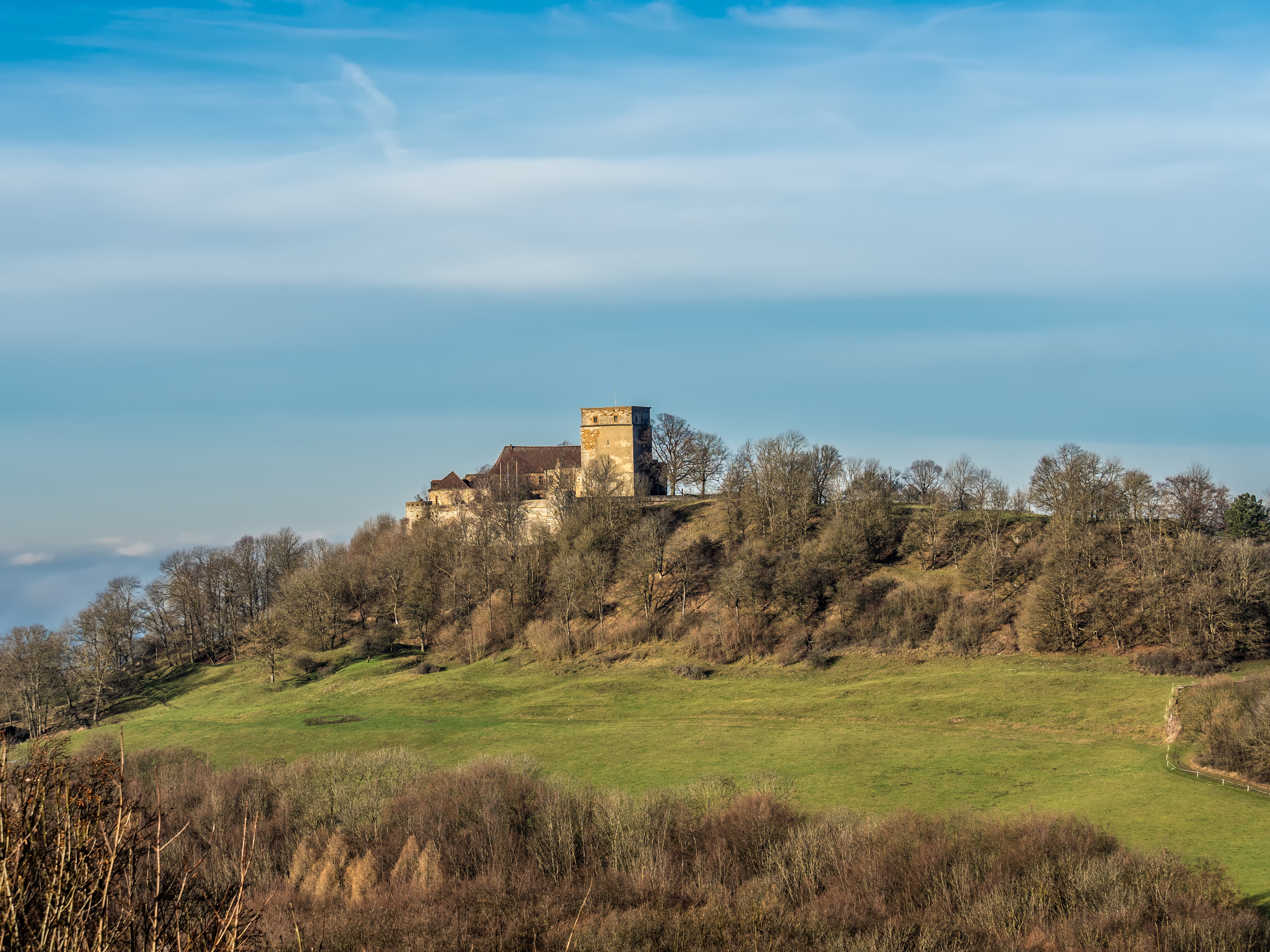
English: Giechburg seen from the Gügel
Deutsch: Giechburg vom Gügel aus gesehen |
| Date | |
| Source | Own work |
| Author | ermell |
| Camera location | | View this and other nearby images on: OpenStreetMap |
|---|
Licensing
[edit]
This file is licensed under the Creative Commons Attribution-Share Alike 4.0 International license.
- You are free:
- to share – to copy, distribute and transmit the work
- to remix – to adapt the work
- Under the following conditions:
- attribution – You must give appropriate credit, provide a link to the license, and indicate if changes were made. You may do so in any reasonable manner, but not in any way that suggests the licensor endorses you or your use.
- share alike – If you remix, transform, or build upon the material, you must distribute your contributions under the same or compatible license as the original.
This image has been assessed using the Quality image guidelines and is considered a Quality image.
|
File history
Click on a date/time to view the file as it appeared at that time.
| Date/Time | Thumbnail | Dimensions | User | Comment | |
|---|---|---|---|---|---|
| current | 11:58, 23 December 2015 | | 4,608 × 3,456 (10.45 MB) | Ermell (talk | contribs) | some noise reduced (LrMediaWiki 0.4.1) |
| 21:58, 22 December 2015 |  | 4,608 × 3,456 (12.95 MB) | Ermell (talk | contribs) | Uploaded with LrMediaWiki 0.4.1 |
You cannot overwrite this file.
File usage on Commons
The following 3 pages use this file: